|
|||||||||||||||||||||||||||||
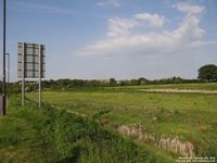
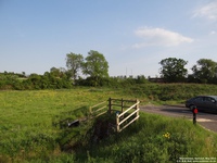
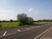
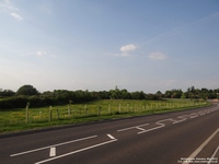
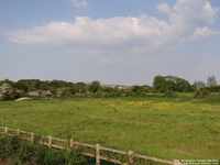
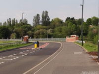
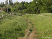
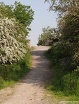
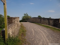
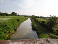
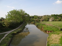
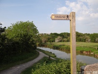
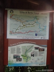
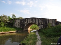
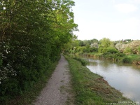
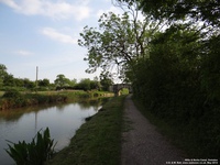
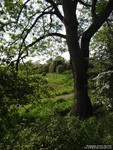
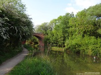
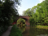
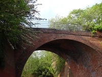
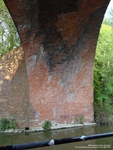
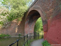
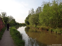
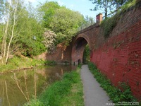
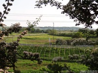
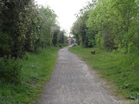
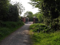
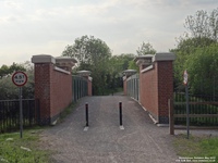
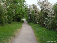
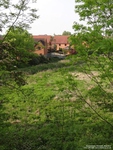
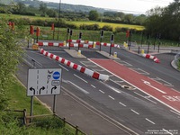
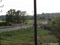
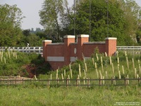
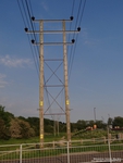
Wichelstowe, Swindon, WiltshireThe photographs below are of the Wichelstowe area which is south of Swindon. It is being developed and will no doubt change dramatically over the next number of years. The area was known as the 'Front Garden of Swindon' and follows the path of the M4 motorway between the A4367 road bridge to Wroughton and nearly up to junction 16 of the motorway. Apart from being Swindon's flood plain it was a much enjoyed area for walking and for seeing wildlife. After years of opposition the building developers won. The photographs below basically follow a walk we did in May 2012 - parking/starting in Peglars Way - and we hope to follow the same route in a few years to show the differences. Although still made up of beautiful green fields, road systems are in place and we know the fields will be filled with housing and buildings. We have placed lamposts and bridges in the photographs so we will know where we were when we return in a few years. This development has some very interesting water features too - many new bridges have been built and manipulating of the Wilts & Berks Canal. After our 'walking' photographs there are some pictures in the more developed area of East Wichel. In our opinion the developers have done a nice job of the imposed restrictions - a wide variety of housing which feels very pleasant. We have rather a lot of photographs so some are on further pages. As we take more photographs we will add more pages.
HOME
|
Contact Us
|
Copyright
|
Donate
|
FAQs
|
Links
|
Location Index
|
Sponsors
|
Surname Search
|
Us
|
War Memorials
|
Wiltshire Collections
|
|||||||||||||||||||||||||||||
|
|||||||||||||||||||||||||||||


